|
>
Day 1
Links on Walking Places
|
Footloose Librarians' Coast to
Coast Journal Day 6 |
|
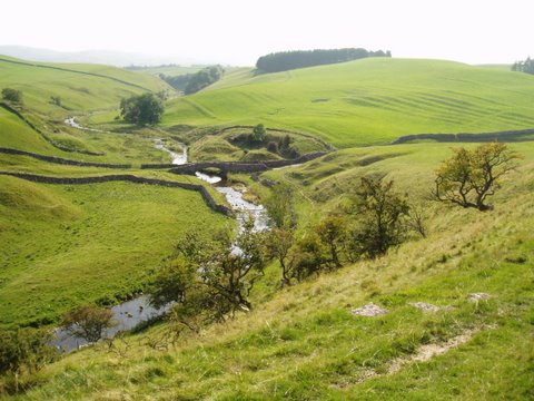
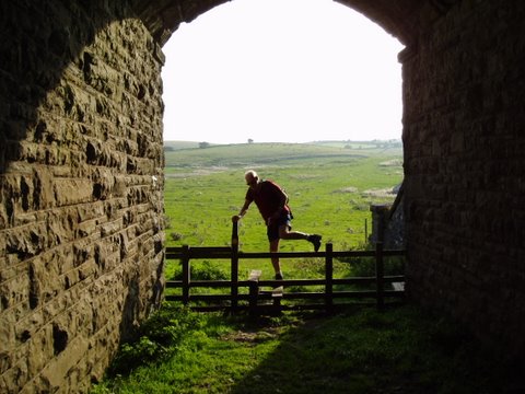
Day 6: Shap to Kirkby Stephen A couple of hundred yards out of Shap is supposed to be the one-third point of the Coast to Coast - we stopped for a moment and celebrated, though there is no milestone to mark the spot. Across fields and down Wolds’ Lane, we crossed the M6 motorway on a pedestrian bridge and passed the walled village of Oddendale. Five minutes further on, I left the lane, determined to find some ancient stone circles off to the east. In the event, they were disappointing, and we headed on generally south southeast.
There is more road walking on today’s route than we have done before, and the miles stretch out. On reaching the Sunbiggin Tarn, a small lake bustling with bird life, we were faced with a long detour along the road uphill to the northeast and then back southeast by another road. A Cumbria County Council guide sign suggested a cross country shortcut, but without a better map, we were doubtful. Never again without a good set of Ordnance Survey maps!
The last six miles into the southern end of
Kirkby Stephen were easy walking but the long day had taken its
toll, and our energy reserves were nearly gone. We found the Jolly
Farmers Guest House, and then onto the Kings’ Arms for dinner. James
tried two of the ciders and found them to his liking. |
|